Practical Implications of the Draft Regulations to the Management of Marine Protected Areas
On 3 February, 2016, the Government released the Draft Regulations to the National Environmental Management: Protected Areas Act, No. 57 of 2003. These Regulations apply to various Marine Protected Areas (“MPA’s”), including Zululand.
Stakeholders' meetings have been convened by representatives of the Department of Environmental Affairs covering the proposed MPA’s for iSimangaliso and the uThukelo Banks (and other areas south of Zululand) and record the concerns of the various user groups.
iSimangaliso Marine Protected Area
Inshore angling
The following inshore sanctuary zones in which no fishing will be allowed have been proposed:
- An area extending from a point 500 metres north of the Kozi Bay north bank to the N13 beacon in the south which lies just north of Bhanga Neck / Boteler Point.
- The stretch from Boteler Point to Dog Point (the first point north of Black Rock).
- An area beginning 6,5 kilometres north of the Mziki Path to the Mziki Path in the south which appears to be the Mission Rocks area.
- The area from the Middle Railway Ledges to a point 500 metres south of the Cape St Lucia lighthouse.
Offshore zonation
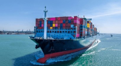
The current sanctuary, wilderness and restricted zones will remain in place. The area from the Mozambique border running southwards to beacon N13 will now become a sanctuary area. The intention is no doubt to prevent vessels from Mozambique from crossing the boundary and harvesting fish in such area before returning to Mozambique. To date, no objections have been raised to such proposal. Fishing in the controlled pelagic zones (pelagic fish are game fish as opposed to bottom-dwelling reef fish) will be restricted to a distance of 3 nautical miles from the low water mark. It follows that no fishing will be allowed beyond 3 nautical miles from the low water mark, as such area is to be declared a "restricted zone". Such restriction would, in effect, bring billfishing to an end as the bulk of such effort takes place beyond the 3 nautical miles’ mark. This would be massively damaging to economy of places such as Sodwana Bay, Mbazwana and St Lucia – hardly in line with the objectives of Operation Phakisa.
Operation Phakisa is an initiative of the South African government designed to fast-track the
implementation of solutions to critical development issues. Speaking in 2014, President Jacob
Zuma said: “The first implementation of Operation Phakisa will be led by the Department of
Environmental Affairs. It will focus on unlocking the economic potential of South Africa’s
oceans, which are estimated to have the potential to contribute up to R177 billion to the GDP
by 2033.” The Draft Regulations declare a network of 22 proposed MPA’s as part of the
Operation Phakisa.
In terms of offshore zonation, it has been suggested that the 3 nautical mile boundary be extended to 12 nautical miles which would then accord with the zonation of South African territorial waters and indeed of coastal states internationally as defined by the 1982 United Nations Convention of the Law of the Sea. What was encouraging is that the Department of Environmental Affairs representatives were receptive to the idea of adjusting the boundary to accommodate billfishing.
The current gazetted southward boundary extends to the lighthouse just south of the Cape
Vidal point. The draft regulations suggest that such boundary should be extended to a point
500 metres south of the Cape St Lucia lighthouse. This has been strongly opposed and the
counter proposal is that the boundary should be in the vicinity of the railway ledges (between
Mapelane point and the wreck of the Jolly Rubino) where the terrestrial boundary of the
iSimangaliso Park seems to end and which accords with the municipal boundary between the
uMkhanyakude and uThungulu Districts. In other words, the terrestrial and marine boundaries
should be aligned.
Written objections to the Draft Regulations should be submitted to MPARegs@environment.gov.za by 3 May 2016.